One lesson we continue to learn about mapping apps is that functionality beats bells and whistles. For example, after Apple Maps’ 2012 “mapgate” highlighted some functional deficiencies, the company has worked for years to elevate the app, quite successfully we might add, to challenge Google Maps.
To be fair, those updates include some bells and whistles… which are also important. But at its core, Apple Maps’ improvements have involved accuracy in the mapping data, including a sizable effort to rebuild the app from the ground up, and assemble first-party data to reduce reliance on others.
Google Maps likewise continues to rapidly release updates that are a mix of underlying functionality and UX. In fact, as we’ve noted, the online mapping space sees early-stage-like feature releases – rare for such a mature product. Competition between Apple and Google fuels that investment and innovation.
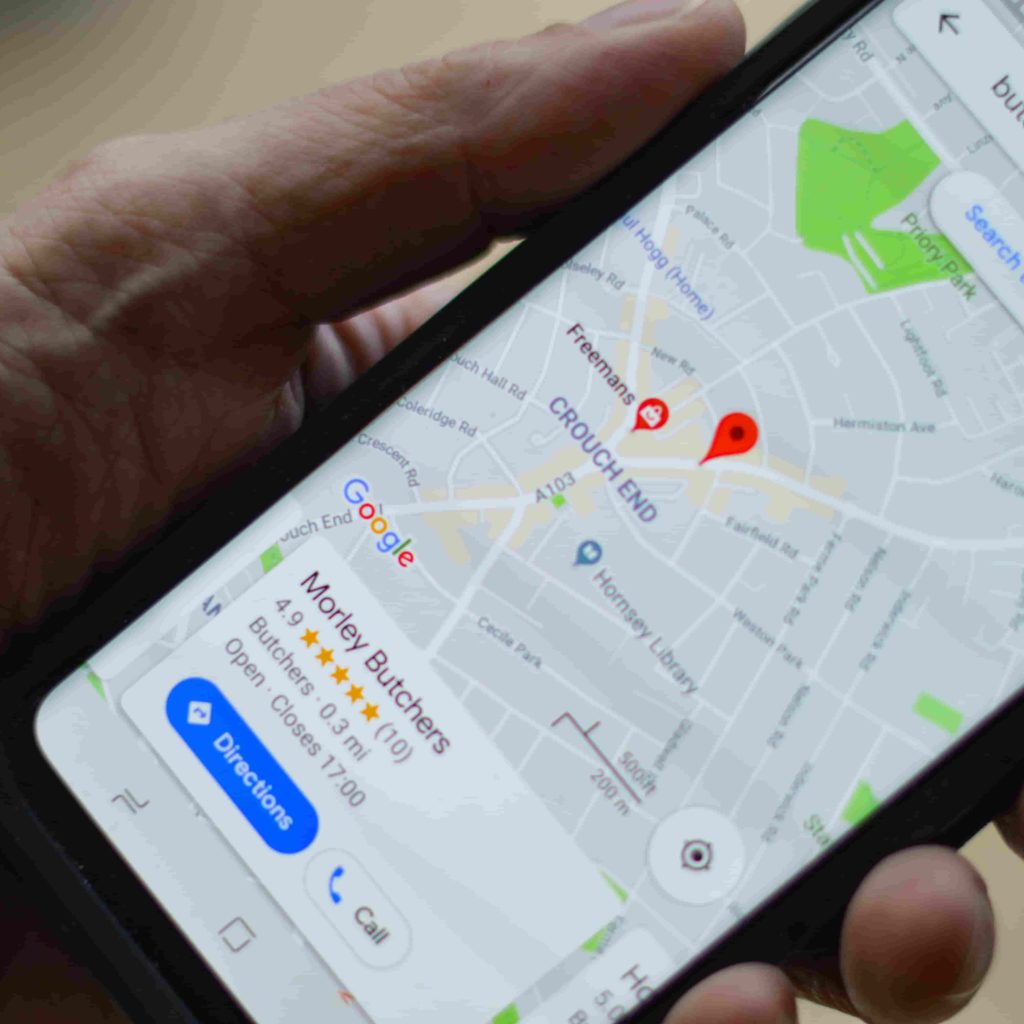
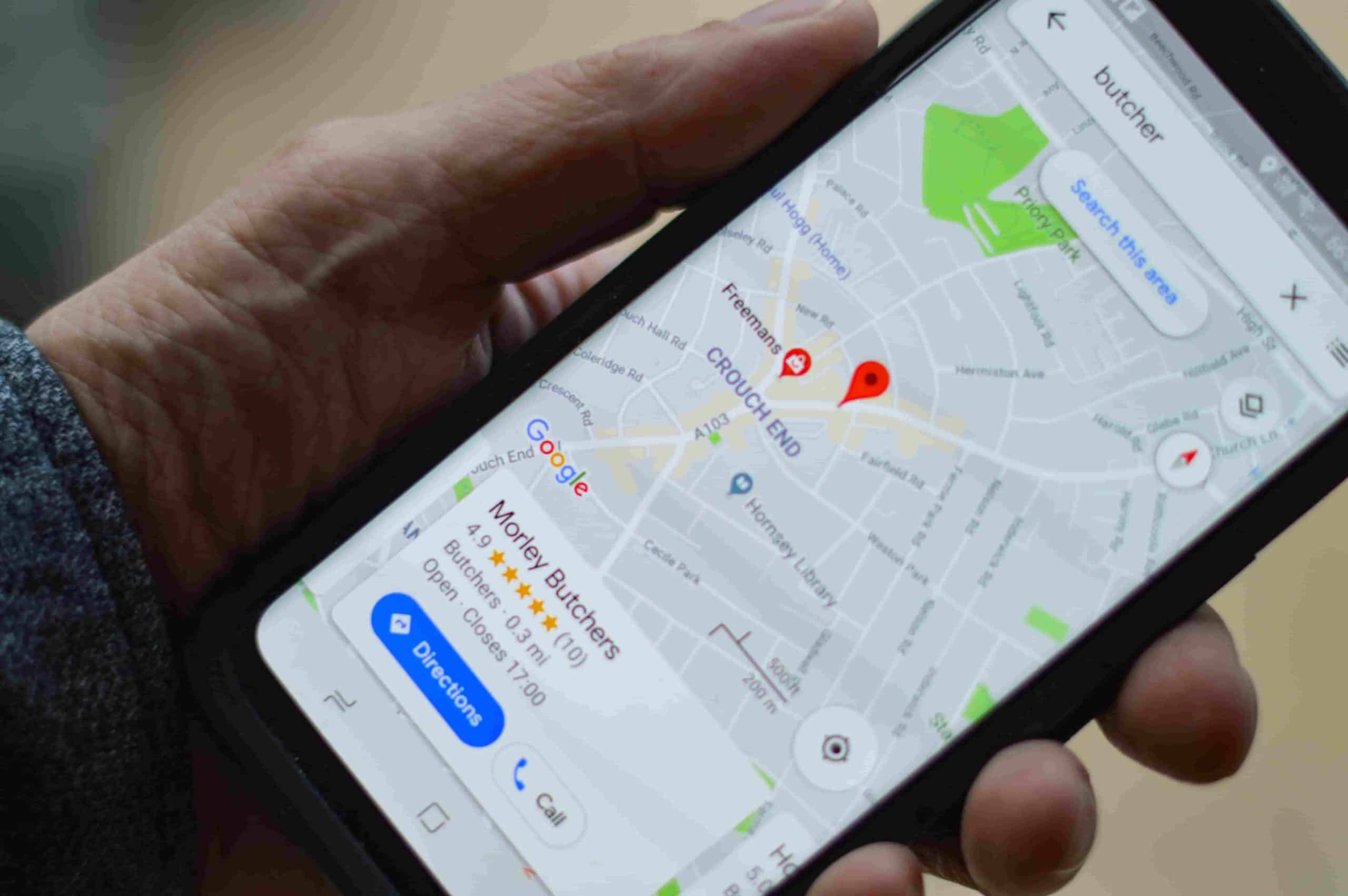
With that backdrop, Google is the latest to improve some of its underlying mapping functionality. Not as sexy as the big feature releases at Google developer events, these updates are still critical in pushing the product forward, for all the above reasons. This time, it’s all about refining mapping accuracy.
Getting Oriented
Drilling down into the latest, Google has improved its device orientation standard. This takes form in the Fused Orientation Provider (FOP) API used by developers who build mapping functionality in their apps using Google’s underlying mapping technology. Think: local discovery or ride-sharing apps.
As its name implies, the API sharpens device orientation and heading by fusing signals from several smartphone sensors. These include the accelerometer, gyroscope, and magnetometer. These can help triangulate accurate location and augment the primary work being done by GPS (more on that in a bit).
The end result according to Google is that it “provides more consistent behavior and high performance across devices,” while compensating for “lower quality sensors and OEM implementations.” That last part is a gentle way of saying that not all smartphone hardware is created equal in terms of sensor quality.
Other actions performed by the API include synchronizing sensors running on different clocks and delays, compensating for magnetometer bias, and counteracting what’s known as gyro drift (loss in accurate positioning while moving). This will all be available in Google’s FOP API in Android 5 and later.
Starting on the Wrong Foot
Backing up, one of the challenges in getting you from point A to B is getting a fix on your own location. Putting aside the accuracy of fixed places and waypoints, it’s all about that little blue dot that represents your current position. Getting an accurate read on that location is often called device localization.
This is a key component of getting you to a destination because if that blue dot isn’t correct, your journey quite literally starts on the wrong foot. “Foot” is perhaps the operative term as this challenge most often creeps up in urban walking directions, as opposed to driving on the open road.
The reason this is an issue is that device localization suffers in urban canyons where GPS signals bounce off buildings like a pinball machine. All that bouncing around affects positional calculations (the time for the signal to get to the satellite and back), thus placing you a half-block from where you really are.
Google in the past has gotten around this challenge by using other device signals beyond GPS . Live View for example uses the camera as a localization mechanism. All the above signals now join the party to make navigating more accurate. Expect Google to continue doing the same to make mapping better.