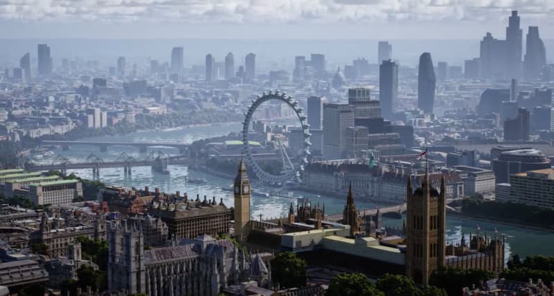
Google recently held its Immersive Geospatial Challenge. This lets developers compete for the best application of its geospatial API. What is that you ask? This is Google’s toolset for building immersive mapping and location products that tap into the same underlying tech that powers its Live View feature.
As background, Live View lets users navigate using 3-dimension arrows that guide them from a first-person perspective. It’s particularly useful to orient oneself when emerging from underground transit. And more recently, Google has added identifying info along the routes, such as storefronts.
To accomplish all the above, Google tapped into its vast knowledge graph including Street View data and Google Business Profiles. The former lets devices “localize” by matching what the camera sees with Street View imagery. And the latter does similar in identifying storefronts and points of interest.
With this underlying data set, Google decided that the technology deserves more play than its own homegrown apps and features like Google Lens and Street View. So the Geospatial API was born. This crowdsources innovation to developers everywhere… and they’re starting to get creative with it.
In that spirit, here are this year’s finalists for the Geospatial challenge…
Category: Entertainment & Events
World Ensemble
World Ensemble is an audio-visual app that positions sound objects in 3D, creating an immersive audio-visual experience.

Realistic Event Showcaser
Realistic Event Showcaser is a fully configurable and immersive platform to customize your event experience and showcase its unique location stories and charm.

navigAtoR
navigAtoR is an augmented reality app that is changing the way you navigate through cities by providing a 3-dimensional map of your surroundings.

Category: Commerce
love ya
love ya showcases three user scenarios for a special time of year that connect local businesses with users.
Category: Travel and Local Discovery
Sutro Baths AR Tour
This guided tour through the Sutro Baths historical landmark using an illuminated walking path, information panels with text and images, and a 3D rendering of how the Sutro Baths swimming pool complex would appear to those attending.

Hyper Immersive Panorama
Hyper Immersive Panorama uses real-time facial detection to allow the user to look left, right, up or down, in the virtual 3D environment.

The World is Flooding!
The World is Flooding! allows you to visualize a 3D, realistic flooding view of your neighborhood.

Category: Productivity and Business
GeoViz
GeoViz revolutionizes architectural design, allowing users to create, modify, and visualize architectural designs in their intended context. The platform facilitates real-time collaboration, letting multiple users contribute to designs and view them in AR on location.

Sustainability
Geospatial Solar
Geospatial Solar combines the Google Geospatial API with the Google Solar API for instant analysis of a building’s solar potential by simply tapping it.

EarthLink – Geospatial Social Media
EarthLink is the first geospatial social media platform that uses 3D photorealistic tiles to enable users to create and share immersive experiences with their friends.


