
The next generation of location intelligence may not come from satellites or street-view vehicles—it may come from millions of delivery drivers already visiting commercial properties every day. This Precisely collaboration with DoorDash highlights how AI is reshaping not only how businesses use data, but how that data is collected in the first place.
Artificial intelligence has made data one of the most valuable assets in enterprise technology. But while AI models continue to become more sophisticated, they still depend on one thing that remains surprisingly difficult to obtain at scale: current, reliable information about the physical world.
Commercial properties change constantly through remodels, tenant turnover, updated signage, and new construction. Yet collecting accurate information about those locations has traditionally required costly site visits or reliance on imagery that may already be months, or even years, out of date.
Precisely believes the next evolution of location intelligence lies in closing that gap. The company’s newly announced Ground Level Images offering, enabled by DoorDash Tasks, combines recent, high-resolution imagery of commercial properties with structured metadata that can feed AI models, analytics platforms, and operational workflows.
That business problem is particularly relevant for organizations managing distributed physical footprints. “For multi-location brands and franchise operators, growth depends on making the right decisions market by market and site by site,” Matt Waxman, Chief Product Officer at Precisely, told Localogy. “Having access to current, reliable views of commercial properties gives decision-makers a better understanding of conditions on the ground as they evaluate new locations.”
While the announcement introduces a new data offering, it also reflects a broader industry shift. DoorDash’s nationwide network of Dashers is increasingly becoming part of the location intelligence infrastructure businesses rely on to understand the physical world.
From Deliveries to Data Collection
The concept builds on an asset DoorDash already possesses: millions of people visiting commercial locations every day.
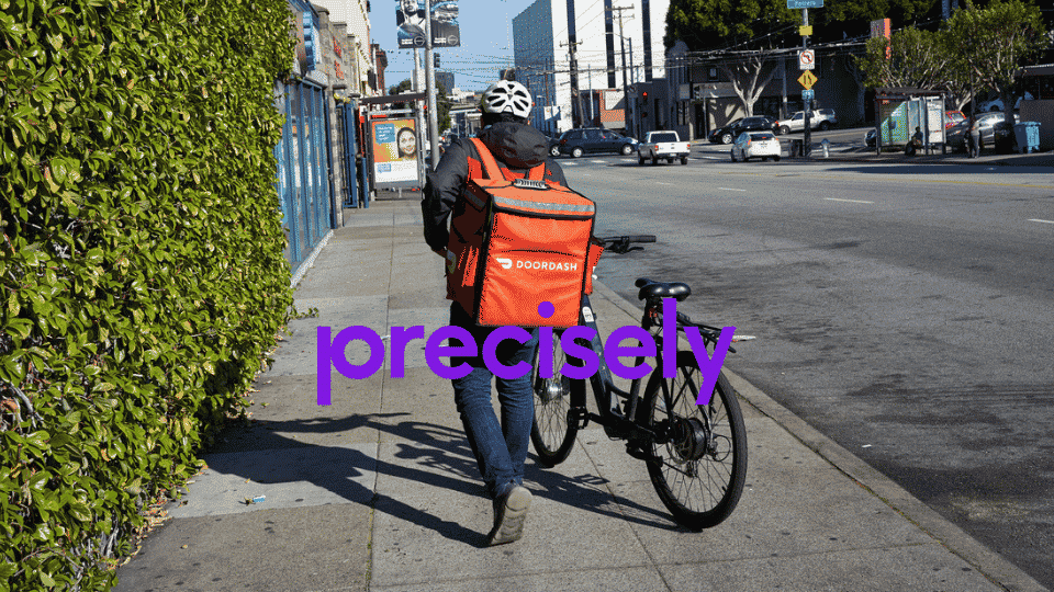
Rather than deploying dedicated field teams, DoorDash Tasks enables participating Dashers to complete short assignments that include photographing commercial properties. Precisely structures those images, enriches them with metadata, and integrates them into its broader location intelligence platform, creating AI-ready property data that connects directly into enterprise workflows.
According to the company, the offering supports industries including retail, insurance, telecommunications, utilities, and commercial real estate, where current site conditions influence decisions ranging from underwriting and portfolio management to expansion planning.
AI Still Needs Ground Truth
As enterprises continue investing heavily in AI, there is growing recognition that model quality depends on data quality. Precisely notes that 96% of organizations already invest in location intelligence and third-party data enrichment to improve business decisions.
Existing imagery often lacks either operational detail or recency, while physical inspections remain expensive to perform at scale. Combining distributed human data collection with structured metadata gives organizations a continually refreshed view of physical assets that AI systems can trust as they support operational decisions, risk assessment, and automated workflows.
Why It Matters
For multi-location brands, current property information supports everything from site selection and brand compliance to operational planning and expansion decisions. Waxman believes that better visibility into physical locations reduces uncertainty as companies evaluate growth opportunities.
“Those insights help organizations reduce uncertainty, streamline site selection, and invest in expansion opportunities with greater confidence,” he said.
Historically, gathering that information has required employee reporting, third-party inspections, and periodic field audits. A continuously refreshed visual layer has the potential to reduce much of that effort while creating a shared operational view across departments. As AI increasingly helps organizations prioritize investments, optimize field operations, and automate workflows, trusted physical-world data becomes another critical input alongside customer, transaction, and location datasets.
More Than a New Data Product
The announcement also builds on Precisely’s broader strategy of assembling AI-ready location intelligence through connected geospatial, business, demographic, and property datasets. Ground Level Images adds another layer of real-world verification that strengthens enterprise decision-making without requiring organizations to stitch together multiple disconnected data sources.
Perhaps the most interesting aspect of the announcement, however, is what it says about the evolution of digital platforms.
DoorDash built one of the world’s largest logistics networks to move food, groceries, and retail goods. Increasingly, that same network is creating value in entirely different ways. Rather than serving solely as a delivery platform, DoorDash is becoming part of the infrastructure used to collect, verify, and continuously update information about the physical world.
Similar shifts are emerging across the technology industry. Walmart has transformed shopper data into a commerce media platform, while Apple is positioning AI and Maps as a new discovery layer. DoorDash now appears to be carving out its own role by turning a logistics network into infrastructure for location intelligence.
That may ultimately be the larger significance of the Precisely announcement. DoorDash isn’t simply helping collect commercial property images. It’s helping create a continuously refreshed layer of physical-world intelligence that enterprises can feed directly into AI systems and operational workflows.