It seems that everyone wants a piece of the local mapping action. After years of dominance from Google Maps, we’re seeing formidable challengers in Apple Maps and Snap Map. These each have their own set of advantages including Apple’s iOS on-deck positioning and Snap’s social mapping layers.
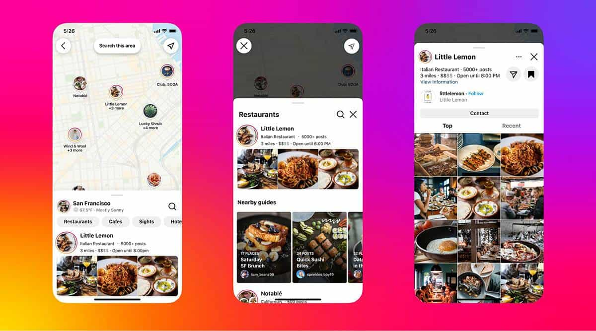
Speaking of social signals that add dimension to mapping, Meta is the latest to join the mapping party. Specifically, Instagram has launched a new map feature. It lets users explore popular locations around them, and filter locations by business categories – everything from bars to barbers.
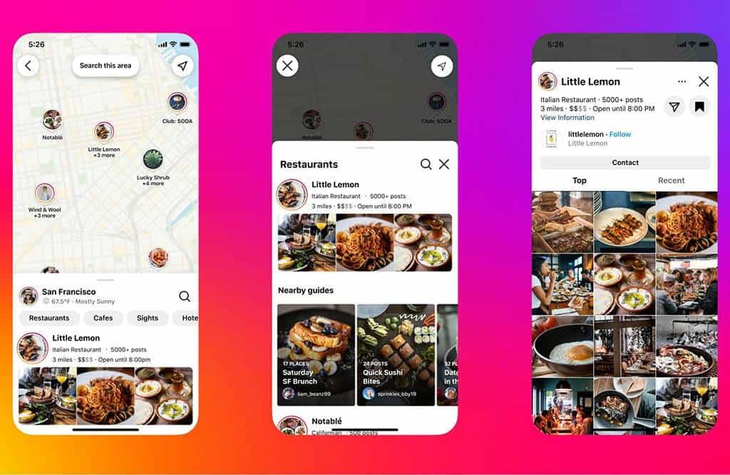
To be clear, Instagram already had a mapping experience but it only included posts. In other words, it arrayed Instagram posts on a map, based on where they were created. Now its maps also include the contents of posts, including businesses and points-of-interest that are tagged within.
Discovery Engine
Going deeper into Instagram’s new mapping UX, users can search maps using the name of a city, neighborhood or place on the Explore page. Within maps, they can also filter it by category. Additionally, they can search using other elements of Instagram’s taxonomy structure, including hashtags.
For example, a possible content-discovery flow could start with a user tapping on a location hashtag (e.g. #sanfrancsico) in their Feed or Stories. That brings them to a map that’s filtered by that attribute. Once there, they can filter or browse stories, posts and tagged entities around that location.
All in all, this takes Instagram’s existing content and wraps a mapping interface around it. And the organizational framework is tags, which leans into Instagram’s existing taxonomy (as opposed to Google’s ranking factors). This builds from past moves to condition users to tag things of interest.
Put another way, Instagram has always been a discovery engine that’s based on behavioral and contextual relevance. You see things in your feed based on social signals and past behavior. Now an additional relevance trigger joins the mix: location. This follows the Snap Maps playbook.
Not Another Mapgate
Stepping back, what Instagram has built appears to be fundamentally different from tools Like Google Maps and Apple Maps. First, social signals are the primary driver for its relevance engine. Like Snap Map, it’s all about discovering things around you in the context of what friends are doing or tagging.
This provides a bit of an edge over Google and Apple. Though these incumbents have larger market shares and algorithmic competency, one thing they lack is social graphs for additional mapping dimension. Snap and Instagram recognize this edge and are building mapping strategies around it.
However, one thing that’s unclear from this update is how Meta/Instagram will ensure listings accuracy. In order to array post content on a map, it obviously needs accurate metadata for those entities. And as the Localogy universe knows well, this is no easy task… entire companies have formed around this.
And like we learned in Apple Maps’ early days – a.k.a., mapgate – mapping bells & whistles mean nothing if the map itself isn’t functional. In other words, the primary success factor for online mapping is to find what you’re looking for. Everything else follows after that. We’ll see if Instagram can pull off the basics.


